Hitch #7 - Live, Laugh, Lop

Connor Adams

Lead Wilderness Steward

September 15-22

Nez Perce-Clearwater National Forests

#421 East Moose Creek

IMG_8408.jpg

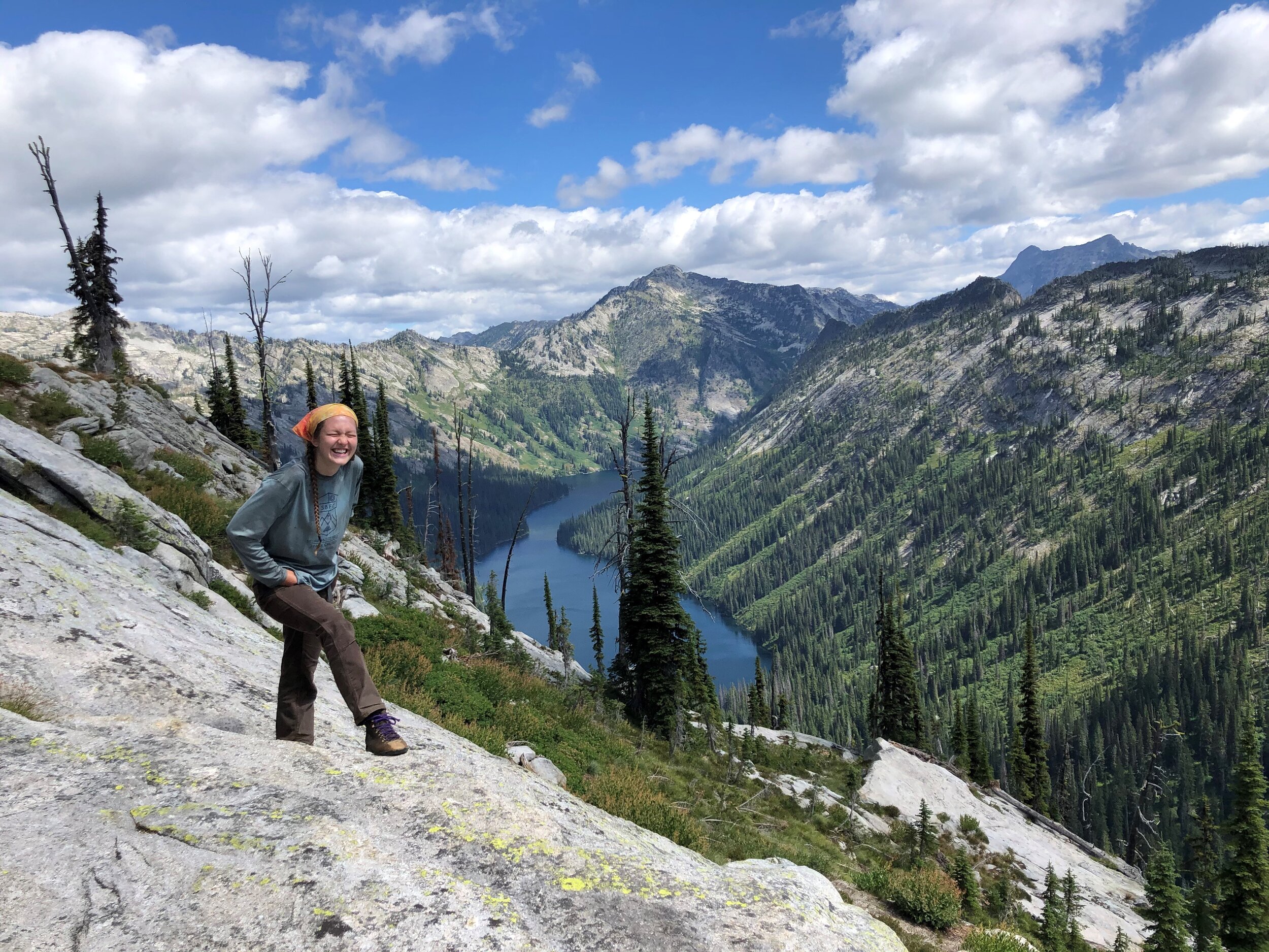
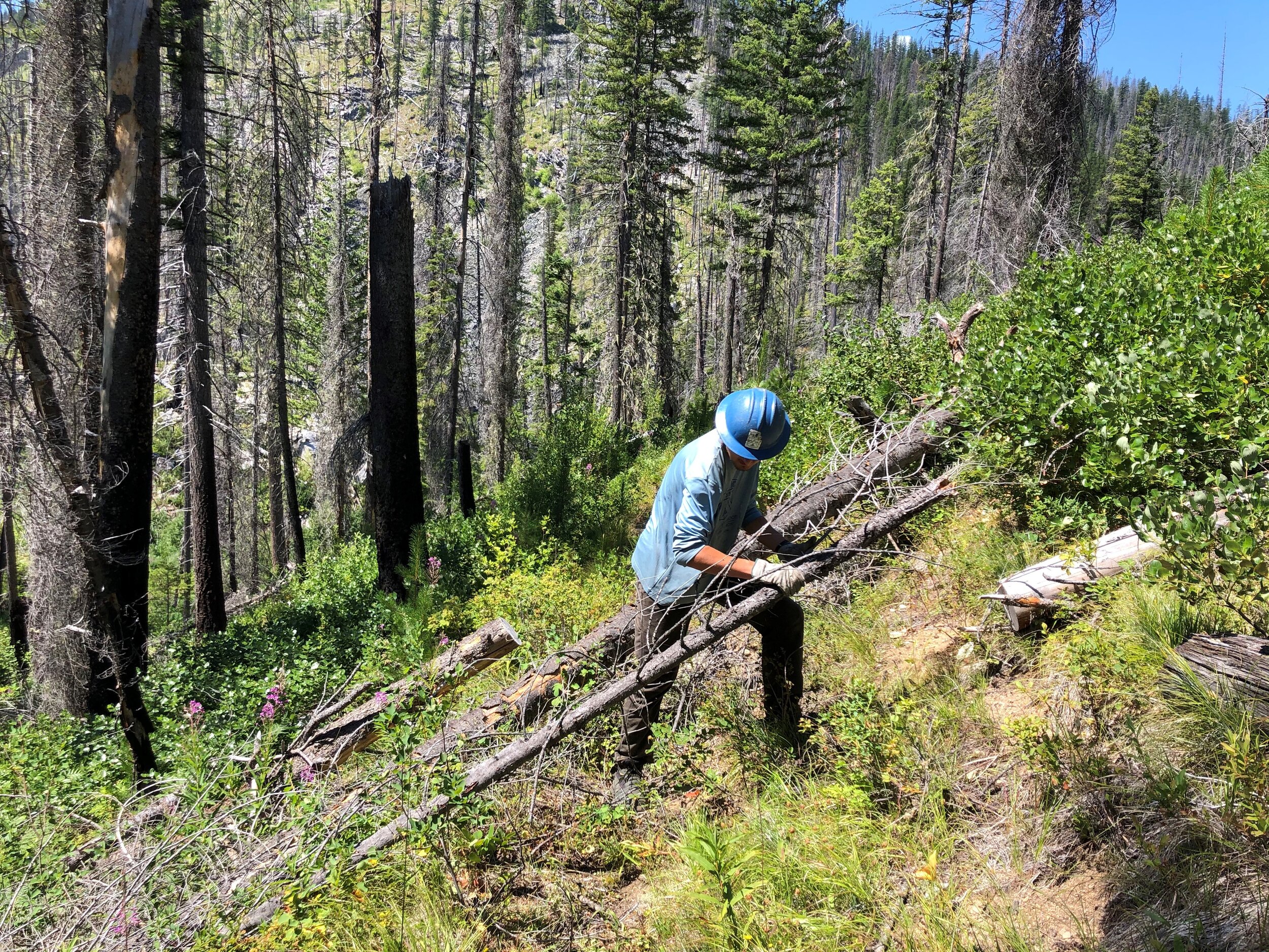
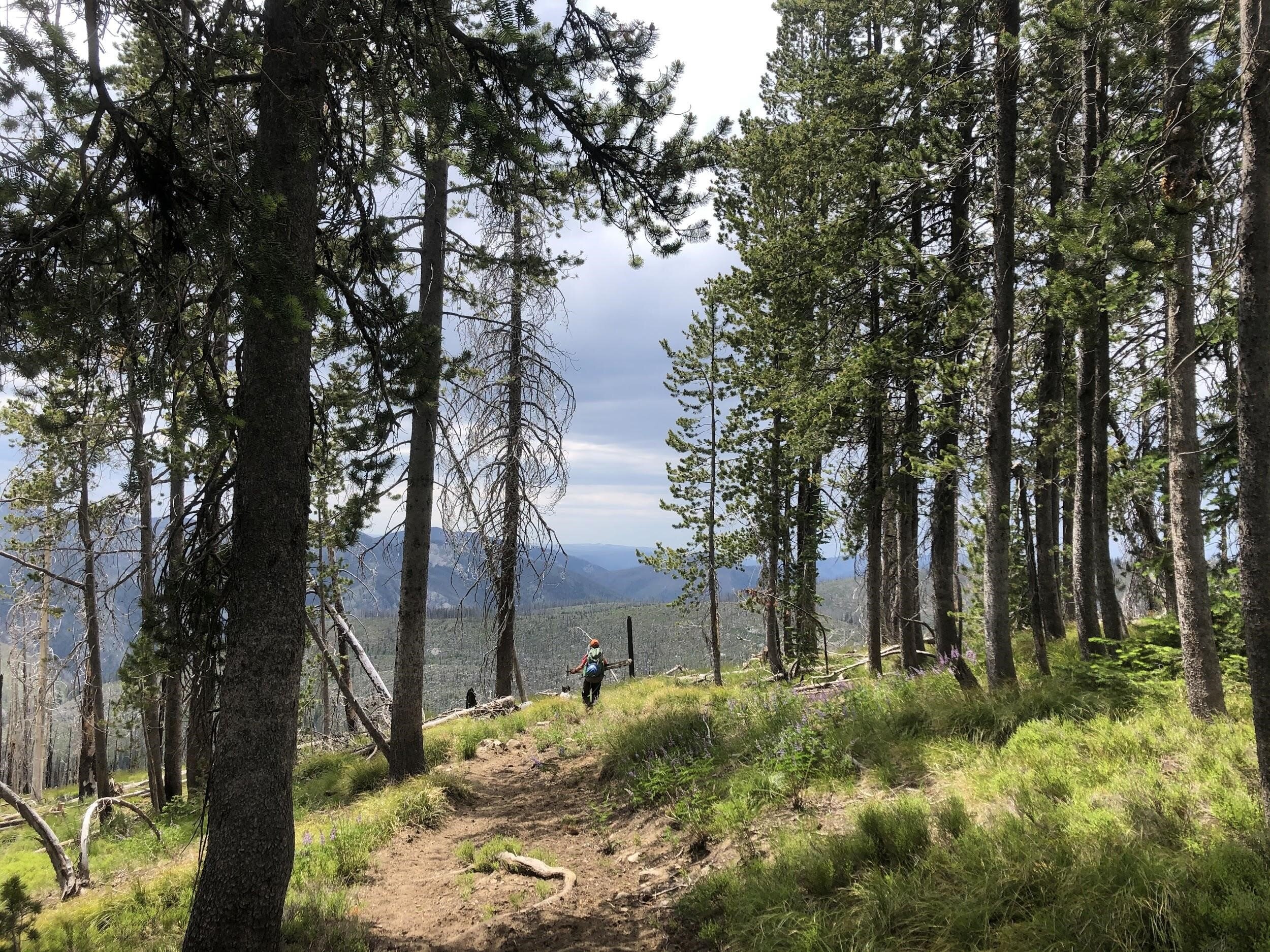
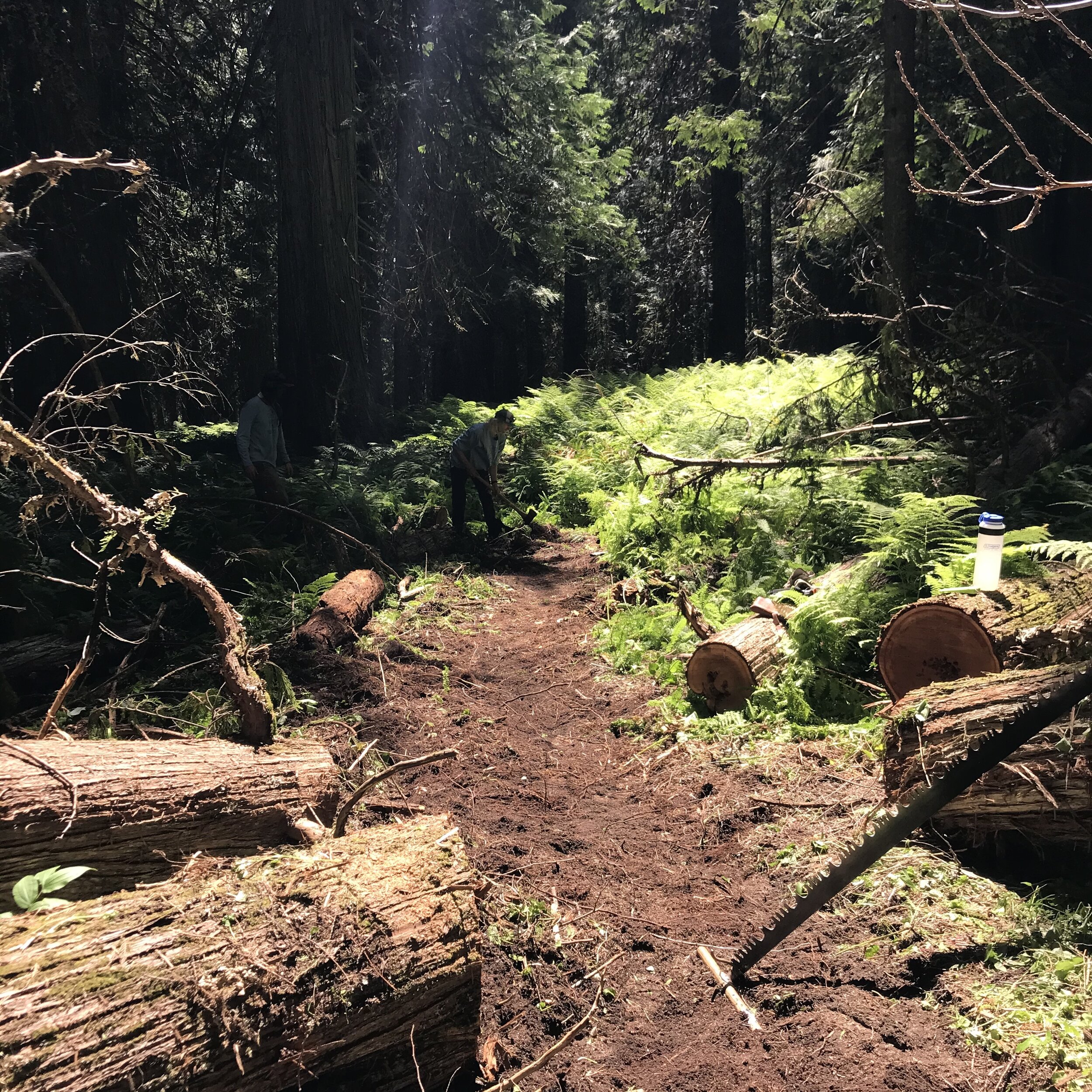
Brushing is definitely among the least sexy and exciting things we do at SBFC, but also one of the most vital. Cutting back small shrubs with a pair of loppers isn’t quite as cool as pulling a crosscut saw or swinging an axe, but a trail can be rendered basically unusable without sufficient brushing. For the last hitch of the 2020 season, I joined up with the Trail Crew and we proved just how instrumental it is to an accessible Wilderness. We were tasked with clearing any blowdown on #421, and more importantly, brushing out the very overgrown riparian area of the trail along the upper reaches of East Moose Creek. We left for hitch a day late because smoke from fires in California and Oregon made hard labor outside a risky activity, but on Wednesday we were back in the Wilderness and setting to work.

IMG_8343.jpeg

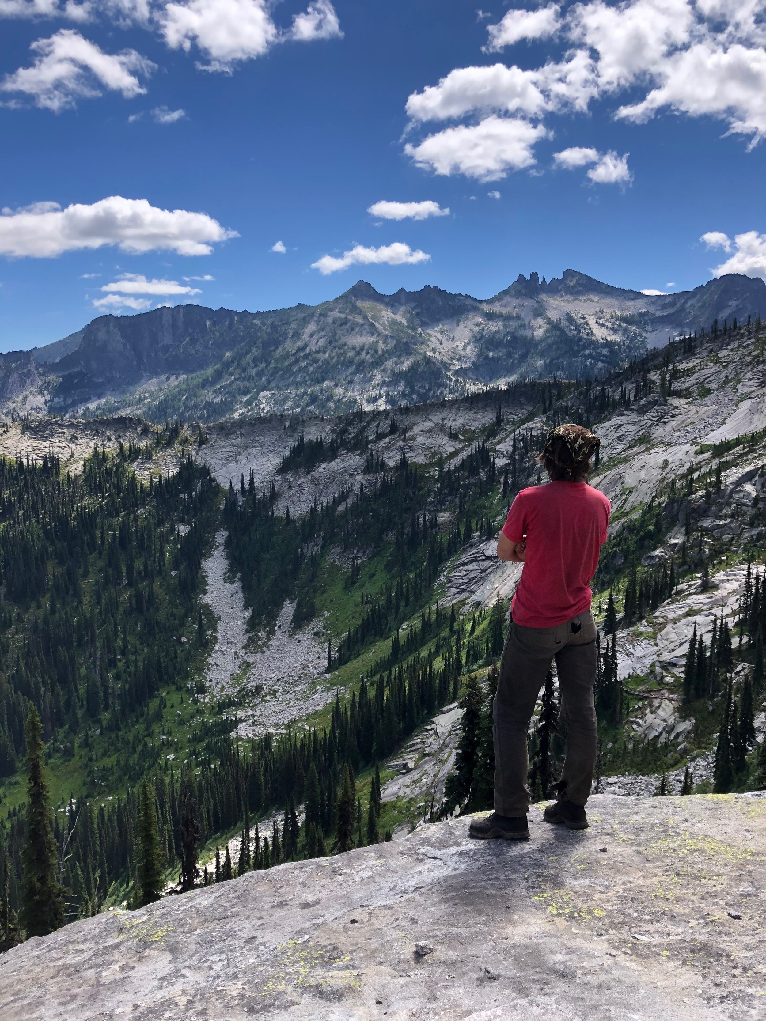
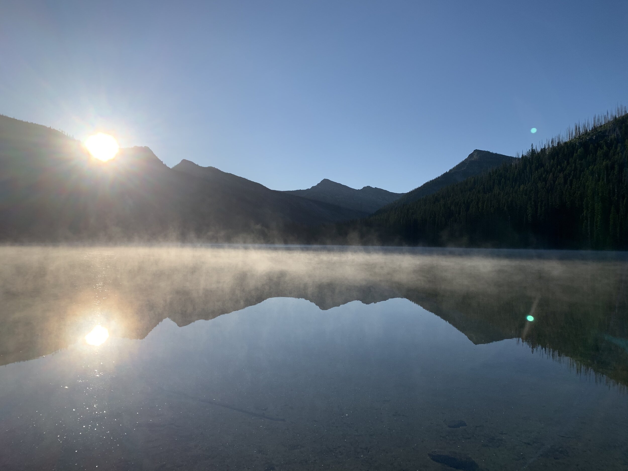
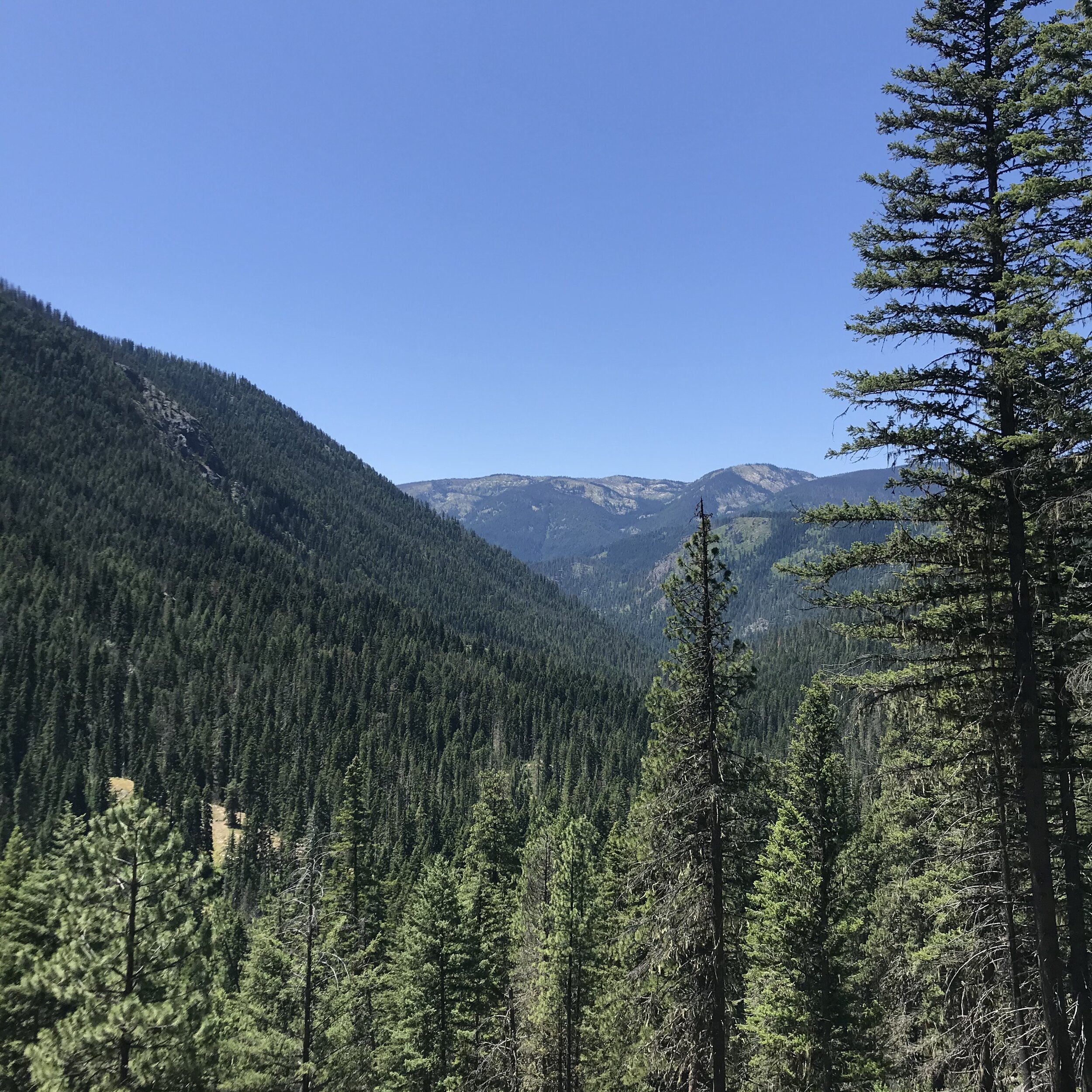
In my now four years with SBFC, I have seen a lot of the downstream section of the #421 trail, and it remains one of my favorite parts of the Wilderness, but as of this year I had yet to explore the headwaters of East Moose Creek and the surrounding valley, or Lost Horse Cabin up by the trailhead. I’m very grateful I finally got sent on hitch there, as that drainage is even more beautiful and wild than I expected. The cabin was pretty neat, too. We spent the first few days of hitch tangling with some thick spruce blowdown throughout the trail, and with the dull teeth of a crosscut with a full season of trail work on it.

IMG_8345.jpeg

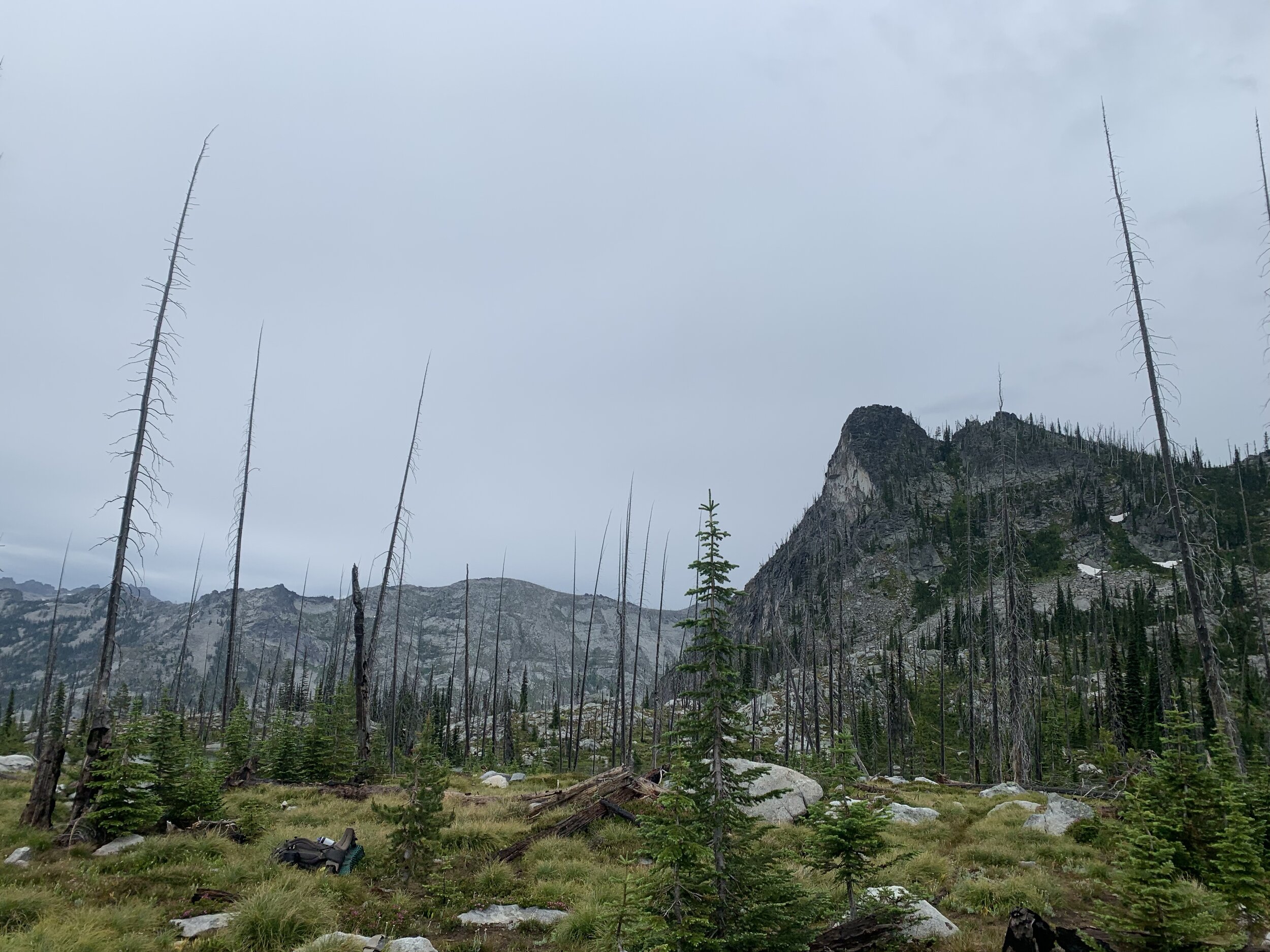
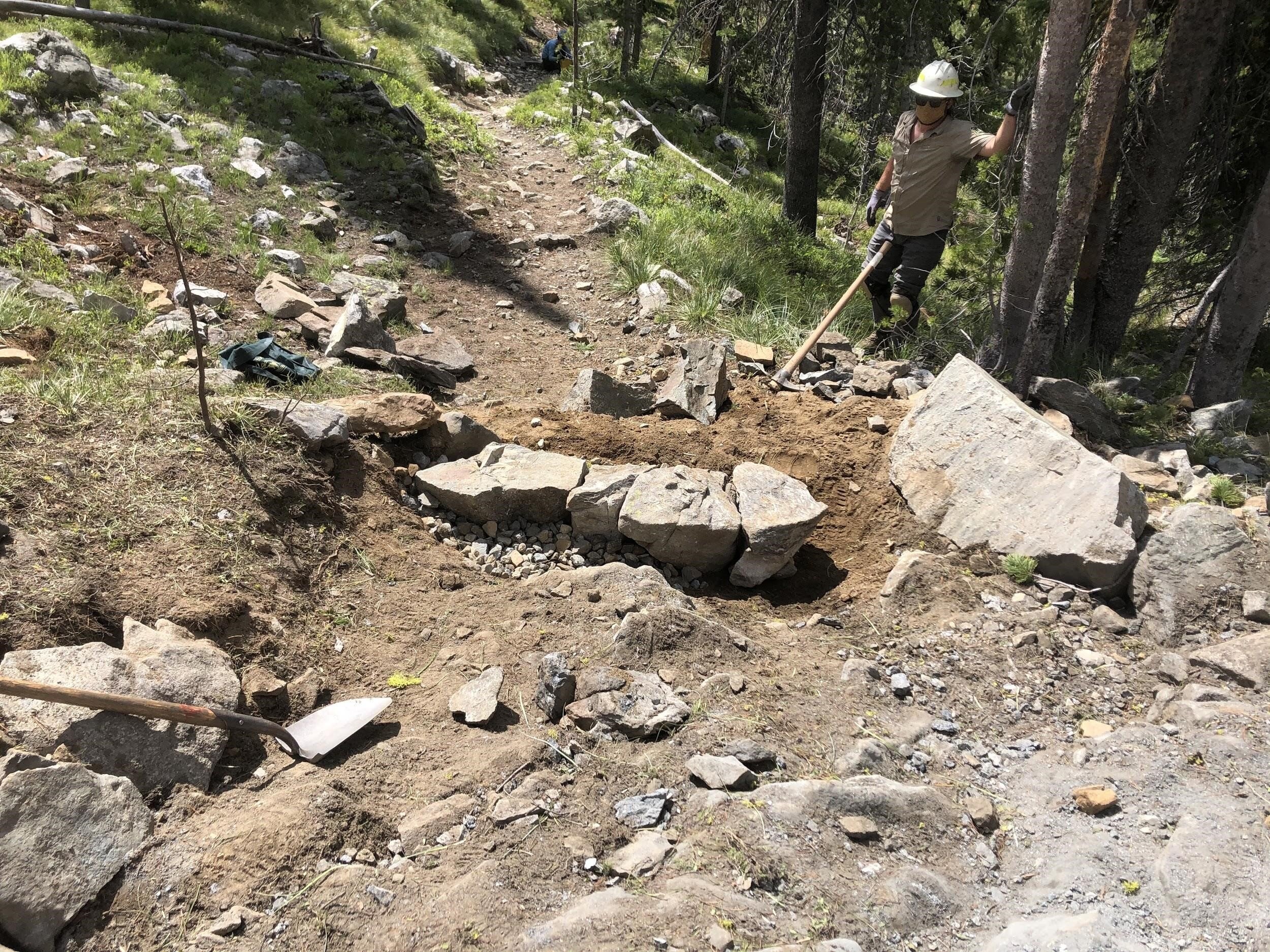
After a few days of clearing, we spent the inevitable rainy day of the hitch hiking out to the junction of #421 and #463 to replace a trail sign that had been scorched and knocked over in a burn since at least 2017, the first time I traveled that trail. It was satisfying to finally fix it after three years of passing by that junction and seeing the helpful little sign lying on its side, unable to accomplish the one task it was designed for. Our tools for this project were limited, and even more limited when our one Pulaski head snapped right off its handle. We didn’t let that stop us though. We gamely dug out the rest of the hole using the jagged end of the Pulaski handle, using our hands to scoop out dirt. Instead of packing in a spud bar on foot for 10 miles, we found the heaviest lodgepole pine snag in the area that we could lift, stripped it of its limbs, and tamped our sign in with that. It wouldn’t do for a hitch rail, but for a trail sign it fit the bill just fine (P.S. nobody tie your horse to that sign). Happy with our resourcefulness, we ended the day by cutting a huge spruce out of the trail that the Trail Crew had left earlier in the season for lack of wedges, nicely putting a bow on their clearing for the year as well.

IMG_8409.jpg

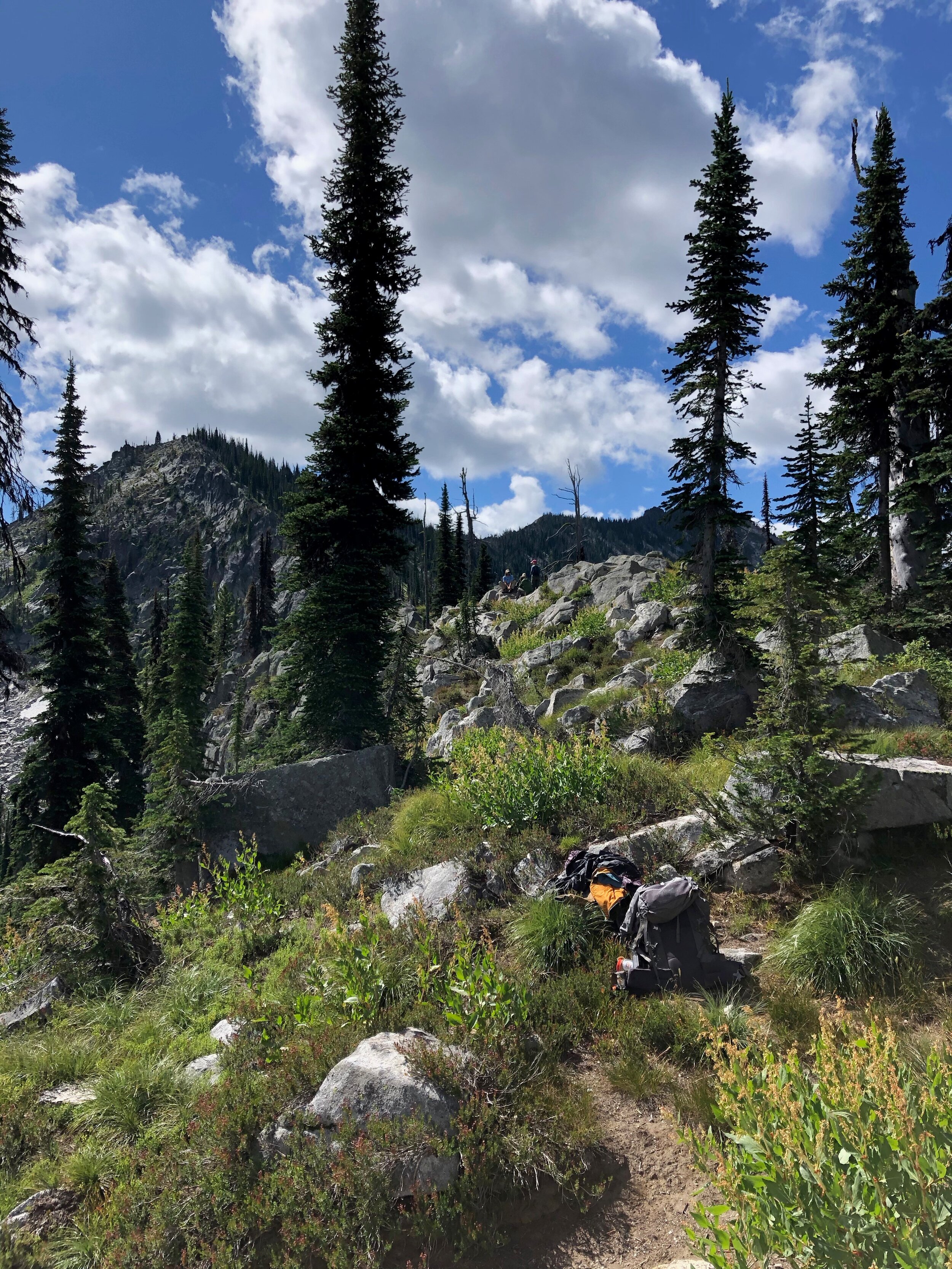
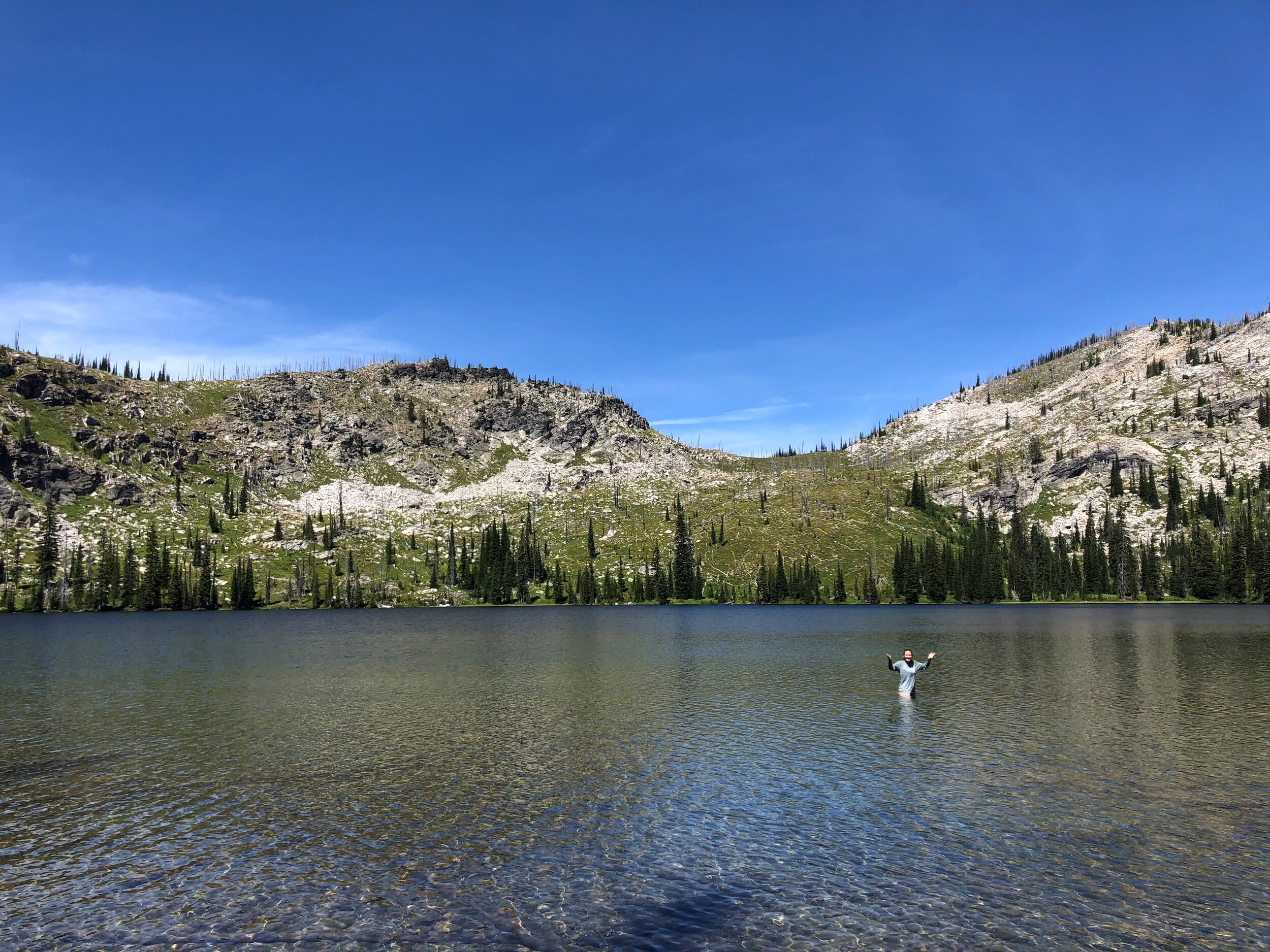
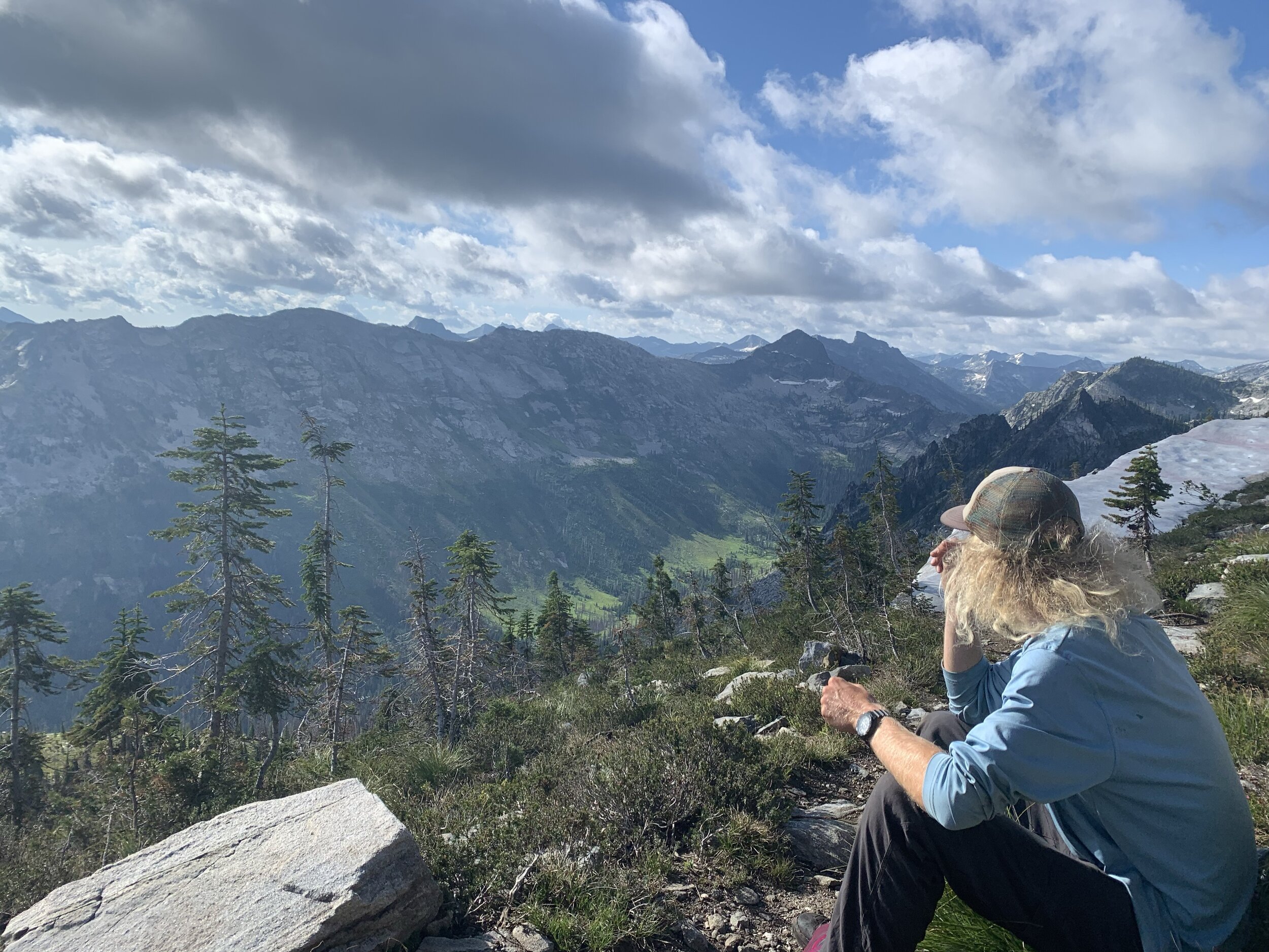
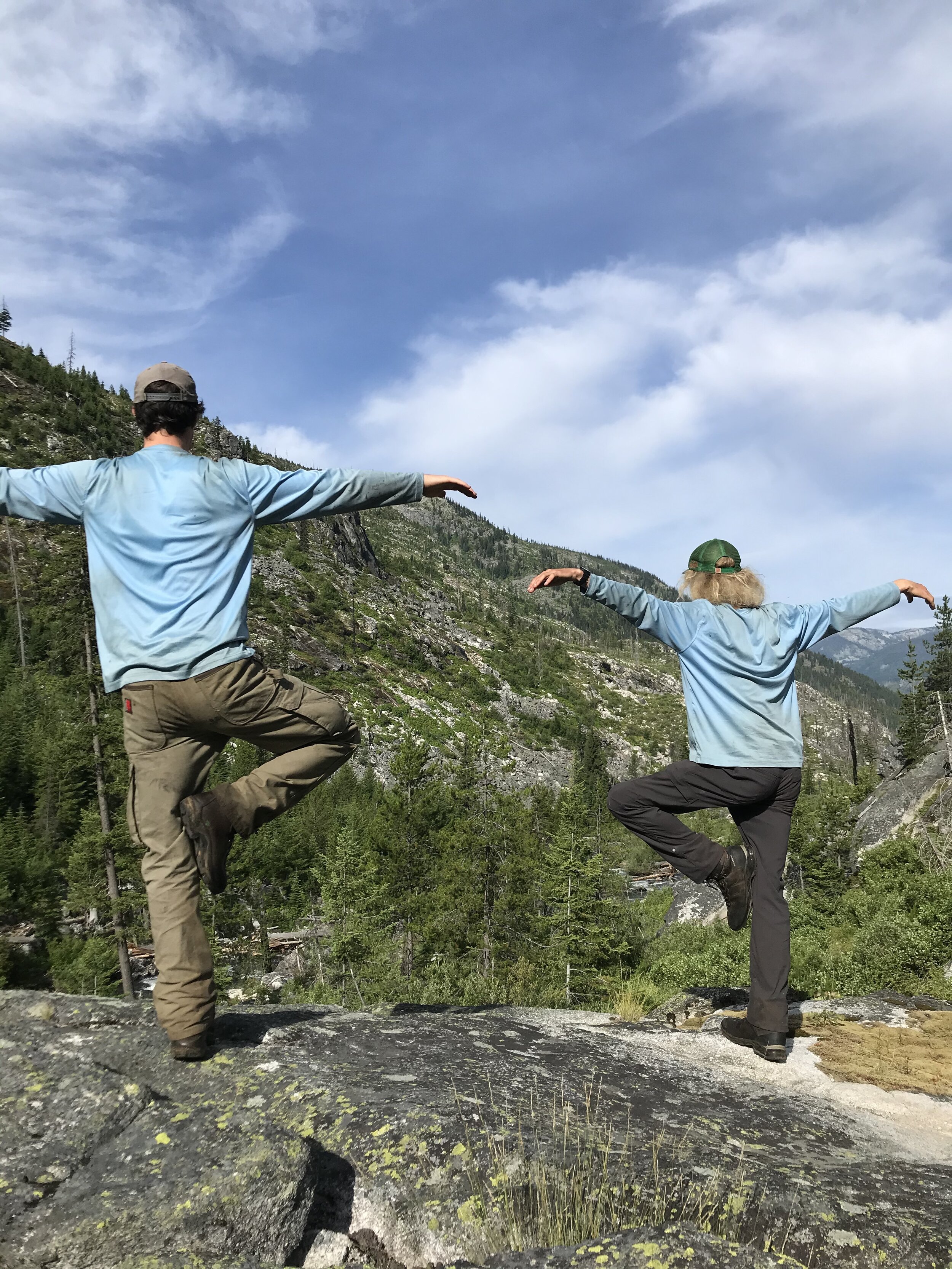
The rain turned out to be a blessing in disguise, as it snuffed out the smoke in the air and gifted us the first blue sky in at least a week. The rest of the hitch was spent lopping and brushing the first 9 miles of the #421 trail from Twin Lakes Trailhead to just near the junction with #463 at Cox Creek. In my six years of Wilderness work, I have seen some trails with brushier sections, but none with so many and for so long a distance. We put our loppers and hand saws through their paces those last few days, joking and enjoying the sunshine and talking about food (and basically nothing else). Though brushing can be dull and repetitive, it was immensely satisfying to walk that full trail back to Twin Lakes without getting smacked in the face with alder branches or tripping over saplings every 100 feet. The #421 is now clear and waiting for the loving embrace of boots and hooves.

IMG_8400.jpg

Hitch #5 - Learning About Guttation

Justine Bright

Trail Crew Member

August 19-26

Salmon-Challis National Forest

Clear Creek Trail #022, Bighorn Crags Trail #021

This season was the most varied I have ever experienced. Every hitch was about as different from the last as I could imagine, and each hitch in itself was full of a diverse set of challenges and rewards. We started off our late summer going from a hot, exposed burn area into a sub-alpine snow storm, hiking out a different trail to avoid unsafe walking on the one we worked in on. The following hitch we went to Marble Creek, and each day I woke and put on wet socks and sandals to hike through stream crossings and frosty strawberry plants. My feet ached with cold on the frozen ground, but I knew that by the afternoon I would do anything to get out of the heat and sun. I am constantly humbled during our work by the rhythm of the day and the character of the places we go. It feels like such abundance, to be in touch with the weather systems, what is flowering or fruiting or starting to turn color and dry out, the water level of the streams, and the length of the days. That is what I miss anticipatorily while we’re working, as well as the work itself.

JB.jpg

Our past two hitches were out of the Bighorn Crags - the most popular area we work in, but it’s not overestimated. Getting to camp at lakes for more than one night of a hitch is probably one of the best rewards for our work during the day, and I felt so taken care of in the Crags. The huckleberries were in full swing while the smoke and shorter days reminded me that fall would be changing this place and our lives soon. We got to watch a fantastic thunderstorm from our campsite on a ridge by Sagebrush Lookout, and could see lightning striking the hills around us. Storms continued through the night, and the next morning we got a welcome break from the thick smoke. The sky was brilliantly pink and orange, and we could glance at the red sun, warped by pressure, without feeling its intensity.

jb2.jpg

During our last hitch at the Crags we found a mushroom guttating- secreting excess water from pores in the fruiting body. It looked like it was seeping amber. They do this after a period of sped-up growth during nourishing conditions. Every time we passed it, I was totally filled with joy and gratitude for the growing conditions we’ve had.

Hitch #5 - Issac Lake Trail and the Double Creek Fire

Crest_Pano.JPG

Shannon Filbey

Trail Crew Member

August 18-25

Nez Perce-Clearwater NFs

#486 Dolph Creek, #939 to Maple Lake, Junction #486 to Maple Creek on #421

Another hitch worth of fallen trees and overgrown Ceanothus brought Pete, Mike, and I back to Elk Summit with full packs, sharpened tools, and a rough plan for the week. This trailhead has become our jumping-off point into a wild abyss of old growth cedar groves, craggy ridgelines, wrought burns, and glittery waters pristine enough to reprieve even the most strenuous of days in the field. It’s the Selway! Our intentions were to clear the trail out to Isaac Lake down into the East Fork of Moose Creek and all the way up through its confluence with Dolph Creek. We set our paces and made way for Cedar Creek all the while gray jays taunted our efforts from their aerial domain and trailside vaccinium branches slumped into the trail under the heft of their numerous hucks. The bears there were obviously total slackers so, in their stead, we dutifully stuffed our faces and water bottles with berries and enjoyed a hike-through dining experience of a lifetime. Sawdust confetti poured from each curf under a blueberry-powered crosscut late into the day until that stream ran to a trickle and the three of us were drained. Cedar Creek greeted us with a riparian refuge that supported firs oozing in usnea all swaying in the evening’s breezes. Fall seemed imminent and sleep did too. Firs shuttered, ninebark reddened, and lightning clapped overhead throughout the night and into the morning.
IMG_7123.jpg

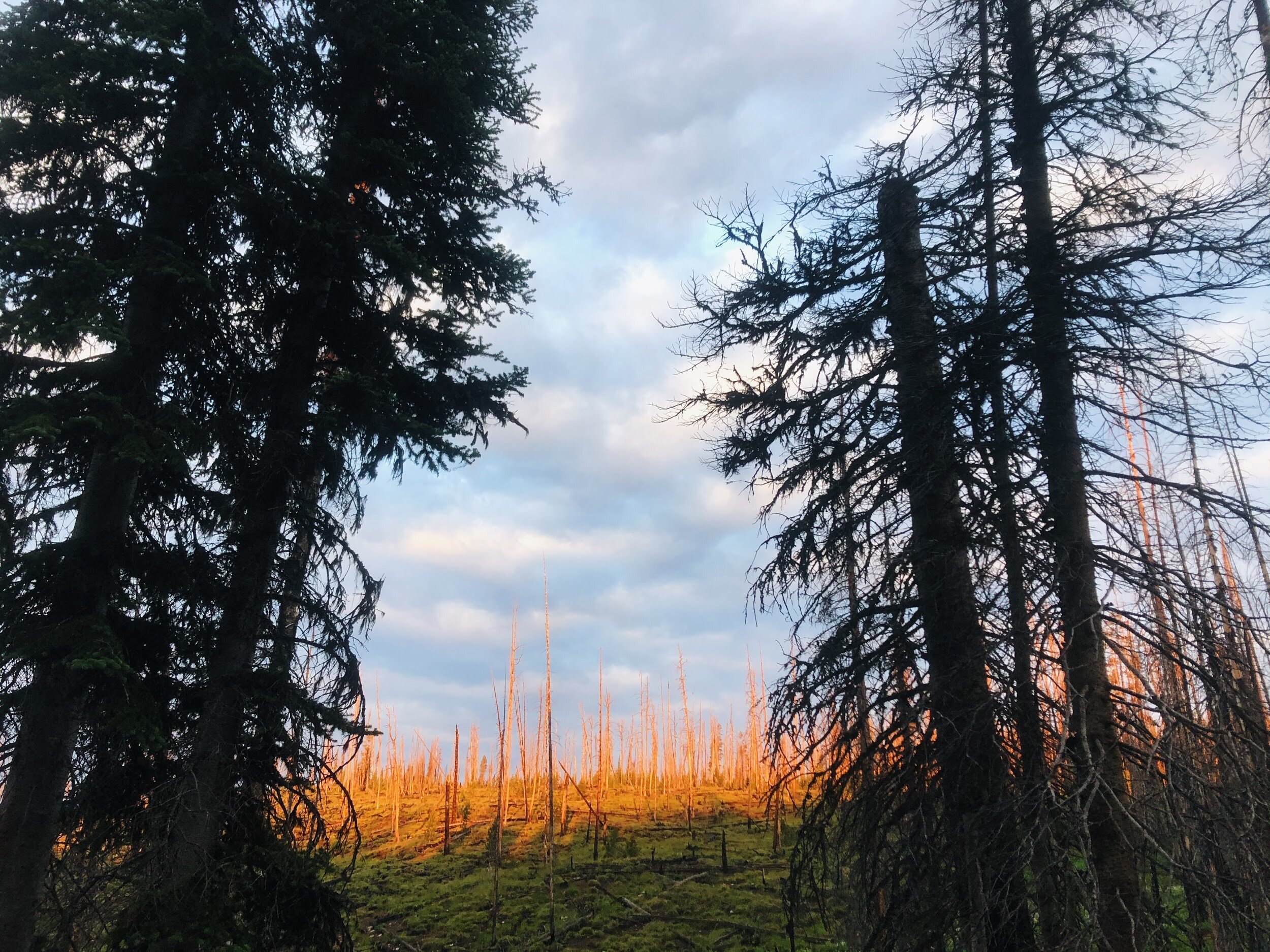
We made haste for the drainage divide between Cedar and Maple Creek and managed to clear the entire section of trail by the end of the day. The prominence of the crest displayed the glacially sharpened peaks of the Bitterroots all in blue-tint atmospheric silhouette. More proximate was the staggering landscape in which we have labored in and navigated throughout for much of the summer. We sat there for a moment, eating our nut mixes, cracking jokes, and mentally taking account of our travels aided by the visual before us. Behind us, westward wilderness was pending our arrival; or so we thought. Instead, it was prepping kindling, smoldering, and not to be disturbed by the likes of any trail-tramps anytime soon. We foolishly cached our tools on the ridge and made our way back down to our camp on Cedar Creek.
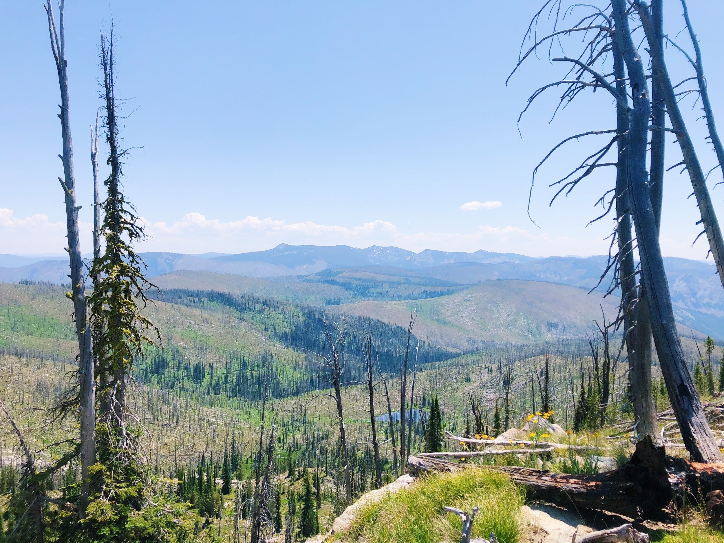
We set off to continue towards Maple and Isaac Lakes in the morning with full packs, but our plans were quickly thwarted once we received notice via inReach of a lightning fire approximately one mile east of May Lake in the Double Creek Watershed. All our tools were cached approximately four miles ahead and 3,400 feet above us towards an active wildfire and now in the opposite direction in which we had to move. On a steep side-slope, we emptied our bags, threw a bear hang, scrapped our plans, and prepared for a mission to retrieve our tools and bump camp down to the cedars groves near Dolph Creek, making for a 13-mile crest to creek day of backtracking. Morale slumped further when we encountered down trees where we had cleared the previous day. The wilderness is clearly indifferent to our performance and determination; as it ought to be.

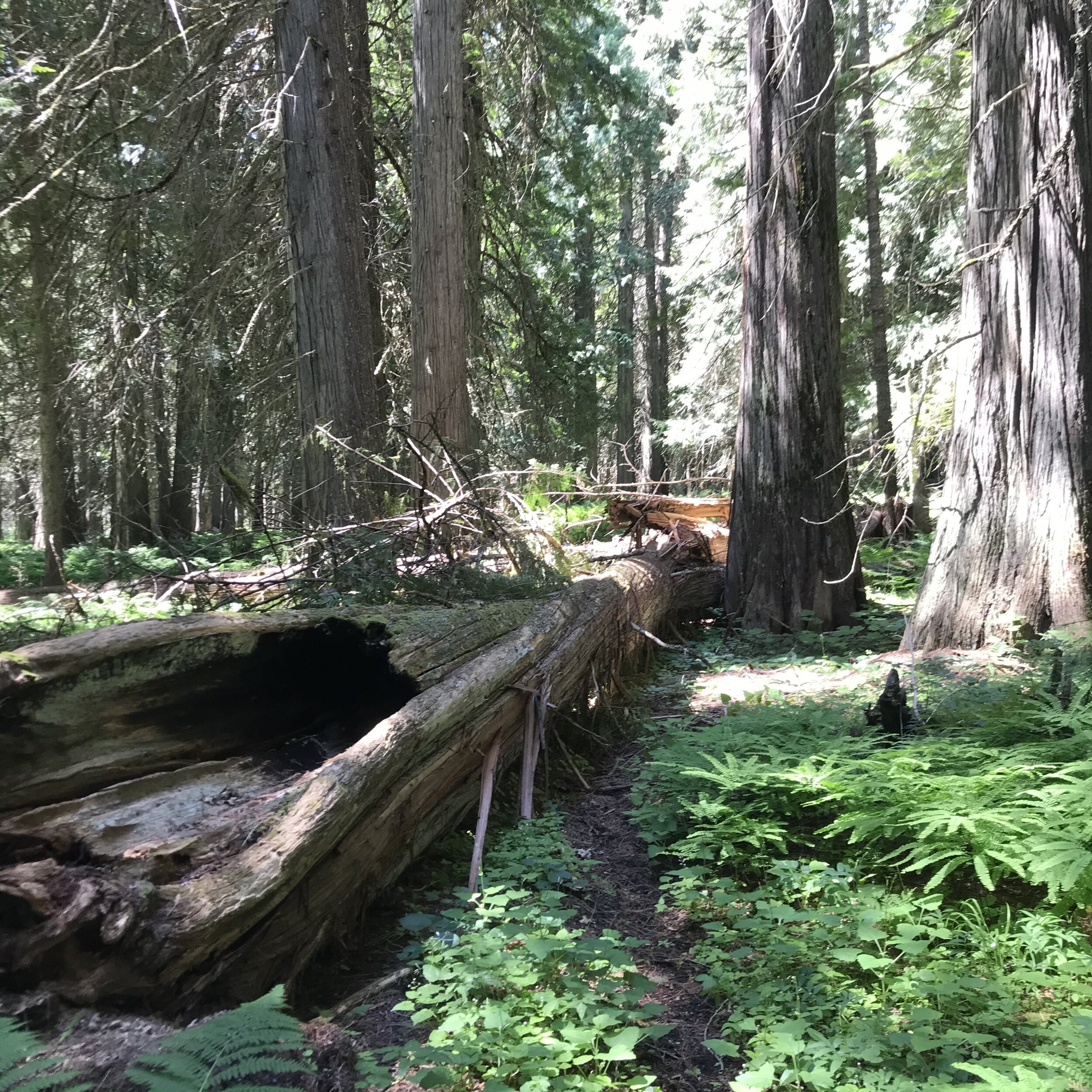
We enjoyed good rest overnight in the company of our giant western red cedars friends. Bright and early, we cleared the trail down the East Fork of Moose Creek.  Late in the day, we encountered a jam-up of toppled cedars extending along the length of the trail and requiring several hours of sawing, which we did not have in us that day. A bald eagle inspected the length of the creek for an opportune dinner while we made our way back to camp through a mosaic patchwork of climax forests and burns where a historic fire had managed a series of creek jumps. Raspberries clawed at our legs in the burns and we clawed right back at their fruitful berries. The husks of ancient cedars now scorched and hollowed-out bleached their cambium in the sunlight wherever their fibrous bark had weathered and peeled away.

We pushed on down the corridor to make camp at Elbow Bend and the trail became more overgrown and bear sign was steaming around every corner. The cedar groves taper off where the valley narrows and the soil becomes shallow. Black bears popped in and out of the woods around us in their quest for grubs, berries, and human avoidance. This area is incredibly wild and it certainly taxed our stamina so late in the hitch. Upon a mishap in communication, a spontaneous pull on a jammed crosscut caught my left index finger and left me to consider how much longer it would take to type this blog with just a stub. Luckily, the cut was but a flesh wound, and ol’ lefty still lands on the ‘F’ key just fine. East Fork Moose Creek showers were waiting for us at the end of the day and we were joined by an American dipper and kingfisher to ring out the day.

On the last two days, we had a long hike back, a cedar pile-up that we had saved for later, and a quest to retrieve a first aid kit that had gone missing when it had rolled down the slope when we were redirected by the Double Creek fire. The smoke had become thick, our shoulders were plenty sore, and the novelty of binge-eating huckleberries and raspberries had worn off. The comforts of Missoula were near and provided all the incentive necessary for us to finish our work. Fireweed seed pods sprung open in our retreat and the creeks were boney. We look forward to meeting the Selway as it makes its transition into the cool season in the coming weeks.

Mike hikes through a burn on the 421.

Mike hikes through a burn on the 421.

Shannon poses in front of an old growth red cedar near the confluence of Cedar and East Fork Moose Creek. 

Shannon poses in front of an old growth red cedar near the confluence of Cedar and East Fork Moose Creek.

In The Frank and Feeling Normal

Hitch #4 Waterfall Creek Trail #045 and Gant Ridge Trail #028

Josh Page

Frank Church Lead Wilderness Steward

August 5-12

Forest: Salmon-Challis NF

For the past three seasons, sometime between mid-July and August, I have been fortunate enough to spend a hitch or two among the sacred jagged spires, ridges and alpine lakes collectively known as the Bighorn Crags. My going there almost feels like an acknowledgement that the peak of summer has come. This year though, the Bighorn Crags were just the gateway to our main objective, the clearing of the Waterfall Creek Trail #045. From it's high point at the pass above Terrace Lakes, the #045 trail sits above 9,000 feet. Over the next 11 miles it almost continuously drops as it cascades down to it's terminus at the Middle Fork of the Salmon at 3'400 feet elevation. From August 6-10 our goal was to connect these two vastly different worlds with a small, uninterrupted ribbon of tread, free of obtrusions of trees and rocks. 

After backpacking past folks at Welcome Lake and Heart Lake, we dropped up and over into the Terrace Lakes bowl-the headwaters of Waterfall Creek. For one glorious night, we had the luxury of setting up camp on the land bridge separating the uppermost and second uppermost lakes where we had unparalleled views and each had our own personal lake to bathe in (and a spare to boot). Once below the lakes, however, we quickly dropped into an old burn where snags stood as memorials to the fire, ready to fall at the slightest of breezes to their final resting place. As the trail switchbacked its way down through the skeleton forest, we cleared fallen trees with crosscuts, hand saws and axes and cleared debris from the many waterbars that we came across, eventually dropping to our camp, a small flat by Waterfall Creek relatively free of snags-by far the biggest threat to a sleeping trail crew (given our location). Over the next several days we meticulously made our way down the trail following a similar routine: Hike to the work site and our cached tools, clear the trail as far as we can, cache the tools at the new far point, hike back to camp, and bathe in two feet of cold, fast flowing creek water to try and wash away the soot of the burnt forest. Monday was our last day alloted to clearing this trail, we still had five miles to go if we were gonna clear the entire trail and it was beginning to look like our objective might not be met, but we had the right combination of grit, skill and luck to, finally at 3:30 pm, reach the Middle Fork of the Salmon. Knowing five miles and 3,000 feet of elevation gain were between us and camp, and given the heat of the sun beating down on us and radiating off of every surface, I could have cried tears of joy as my feet stepped into that cold, beautiful river. All too soon though, it was time to dry off and begin the long trek back towards camp, and the next day towards the Bighorn Crags. Monday ended up being a 13 hr workday, but we were all proud to have finished the trail. We finished the hitch working on the Gant Ridge trail and camped at Cathedral Lake, exhausted, but with our heads held high for all that we had accomplished before we headed back to the Bighorn Crags campground on Wednesday.

During these cautious times in the world, I am eternally grateful for the normalcy that I get to feel every time I go out on an eight-day hitch into the Frank Church River of No Return Wilderness. Once our small pod of me, Carly and Justine are out in the woods and away from the constant news and various reminders of how much our world has changed, I am reminded that nature is still more or less following it's typical patterns. Late July had arrived and the snows had melted enough that I could once more visit and work in the Bighorn Crags, doing our small part to clear trails for the adventurous souls that also are looking for solitude and calm in these stressful times. So for anyone looking for a wild ride, the Waterfall Creek Trail #045 is open top to bottom. I just have to recommend floating out from the bottom if you can swing it-that climb back to the Crags is not for the faint of heart. 

Terrace Lakes from the pass

Terrace Lakes from the pass

Carly & Justine cross cutting a tree from the Waterfall Creek #045 trail

Carly & Justine cross cutting a tree from the Waterfall Creek #045 trail

Justine hiking along the Waterfall Creek #045 trail with the canyon of the Middle Fork of the Salmon in the background

Justine hiking along the Waterfall Creek #045 trail with the canyon of the Middle Fork of the Salmon in the background

My tent overlooking the uppermost of the Terrace Lakes

My tent overlooking the uppermost of the Terrace Lakes

A Summer of Surprises

Isabelle Mills

Wilderness Ranger Fellow

August 4-11

Nez-Perce Clearwater National Forest

Big Sand Lake #4, Frog Peak #906, Hidden Peak #10, Big Sand Creek #1, Little Dead Elk #5 #50 to Packbox Pass

Wow, the last hitch is done already! I am glad I got to write about my last hitch because it gave me some time and perspective to reflect on this experience. Every hitch this season seemed to get progressively better and the last hitch was most definitely the best of all. The final hitch started with a huge blowout on the road to the Colt Creek Trailhead so Connor, Will, and I had to hike a mile on the road to reach the trailhead. The first trail we cleared was located in a burn area. We endured high temps and intense sun (which made me nervous when I forgot my sunscreen one day, but I came out unburned). On the third day a storm, with lots of aggressive thunder, managed to cool things down.  Even though it did not rain much, it was enough to completely soak our boots and they remained wet for the next couple days. It is surprising how much more I hate grass when it is covered in water droplets. We did build a fire and were able to dry our boots (at least a bit).

Pulling out of the burn area and leaving it behind was a welcome relief and camping at Garnet Creek was a gift. Also, no more need for tools, because we spent the rest of the hitch doing campsite monitoring. On day five Will and I went up to White Sand Lake to monitor the campsites while Connor headed up to Parachute Lake. Even though we lost the trail a couple times, it was one of the best days of the summer. White Sand is a beautiful lake and we had some time to swim and relax before hiking back down.

The next day was spectacular. We continued to monitor campsites on the way up to Packbox Pass and planned to meet Madi, Phoebe, and Tori at the top. After a wet and buggy morning, we hiked up to the pass and waited for the other crew. The summit was breathtakingly beautiful, plus, seeing several backpackers was a nice treat too. Not only did we get to see Madi, Phoebe, and Tori but we also saw more people on that trail than we had seen all summer.

Those last two days really reminded me of why all the hard parts are worth it. I am so glad that we had that time to just enjoy the Wilderness before getting back to work. On the final day Will, Connor, and I monitored the campsites we had passed on our way in then hiked back up the road to our cars and said farewell to the Wilderness.

As we approached civilization, I started feeling nostalgic about the season and how everything had happened so quickly. From beginning to end, this whole summer was unexpected and exciting. I had learned so much about the Wilderness and myself. I am glad I stuck it out through the hard times because it made the good parts that much sweeter.

Hitch #3 - Big Sand Lake Clearing

Mike Skladanowski

Trail Crew Member

July 21-28

Nez Perce-Clearwater NF

We started this hitch where we left off just 1 week earlier, clearing trail #4 up to the beautiful Big Sand Lake. We camped there for the first two nights of our 7-night, 8-day hitch, waking up each morning to majestic peaks silhouetted by the rising sun behind them. It wasn’t long though before the sun would warm the day and the mosquitos would prod us back to work with their gentle reminders to keep moving. From Big Sand Lake we cleared trail #906, bushing back overgrown snowbrush and removing logs as we passed over two ridges to reset camp at Frog lake. Those first three days came with daily rain, wind and thunder, always keeping us on our toes and reaching into our packs to take our rain layers on and off. 

From Frog Lake we walked over Frog Peak, gracing us with beautiful views into Big Flat Creek drainage and as far as Blodgett Peak. We continued to log out trail #906 to the abandoned Hidden Peak lookout tower, where we had lunch with yet another stunning mountain view. From the lookout tower down into the Hidden Lake drainage encroaching Lodgepole Pines and their fallen parents became rampant on trail #10 as we moved onward toward Hidden Lake. Forward progress slowed down as the trail became more and more dense with brush and fallen trees from a recent burn. We spent our 5th and 6th night at an old horse camp just off of trail #10 a few hundred yards after the junction of #10 and #9. 

As our time dwindled, we realized that clearing our entire loop was going to be impossible. We pushed forward to our next and final camp along trail #1 where the trail meets Big Sand Creek. After 3 unbearably hot and sunny days we were grateful to be able to swim in a cool pool in the creek near our camp. On our final day, we cleared and brushed what we could as we headed for the Bridge Creek trailhead.  The temptation of cold beverages and hot food pushed us forward the final few miles.

Hitch #3 - Devil’s Washbasin, Trail #19

Phoebe Mather

Wilderness Ranger Fellow

July 21-28

Bitterroot National Forest/Frank Church River of No Return Wilderness

Devil’s Washbasin, Trail #19

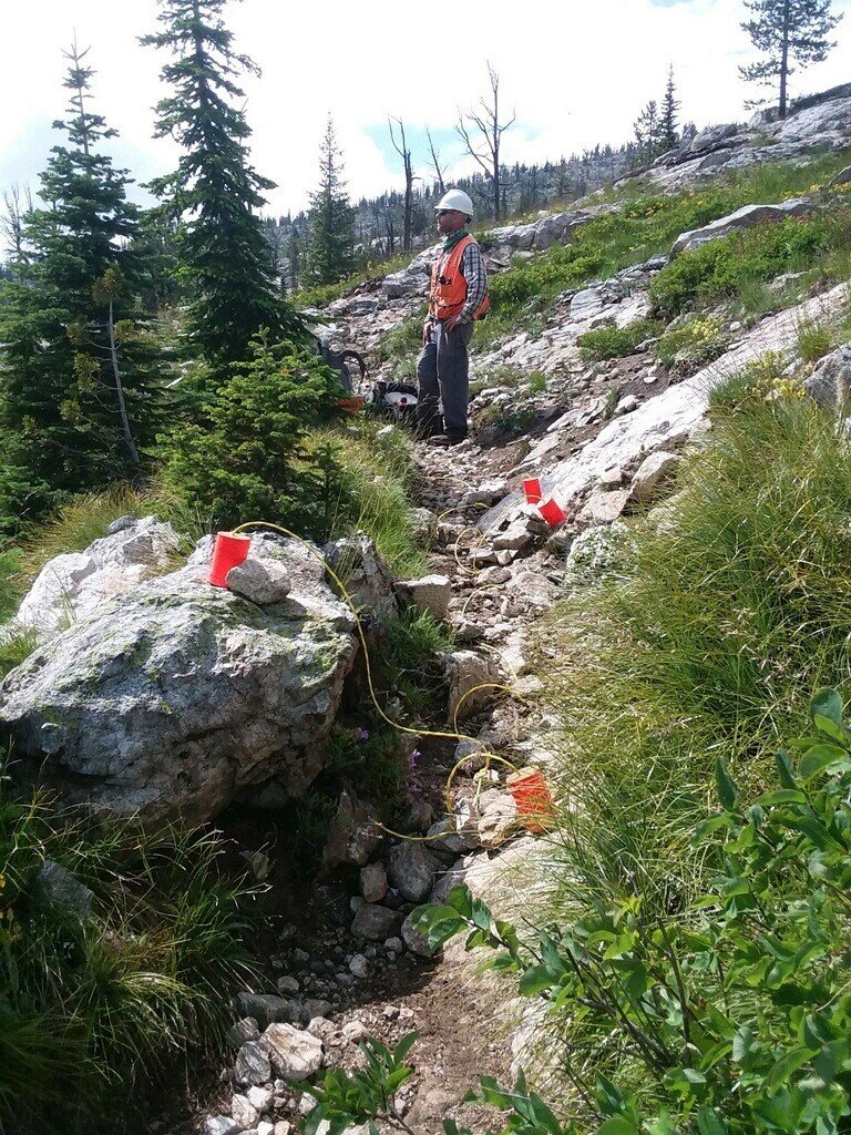
Hitch #3 wasn’t any ordinary hitch, unlike previous trips where our main goal is to clear the trail, the purpose of this hitch was the Devil’s Washbasin Blasting Project. Trail #19 is an existing trail in the Bitterroot National Forest, however, once over the first ridge it is a treacherous descent over slickrock back down into the valley. The task at hand? To blast the slickrock on the existing trail, then put in check steps and clean up remaining rocks to make it safer for stock to pass through.

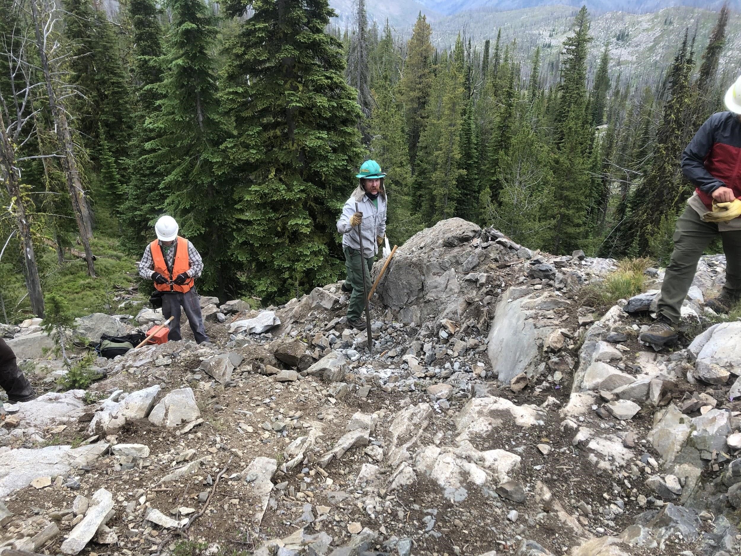
The Forest Service has had this project planned for a while, and my Wilderness Fellow partner, Madi, and I were lucky enough to take part in the process as this is the last year explosives will be allowed to be used in Wilderness areas. There was the blasting crew lead by Karl Crittenden, along with Chris Murphy and Dave Maclay Schulte, all of whom are with the USFS. Then there was the trail crew, led by Jack Ader the Wilderness Ranger of the West Fork for the USFS, and then Madi and I. This hitch was truly dedicated to the packers, mules, and horses. All of the work we completed along the trail was to ensure safe travel for future excursions, though we did encounter a few surprises along the way.

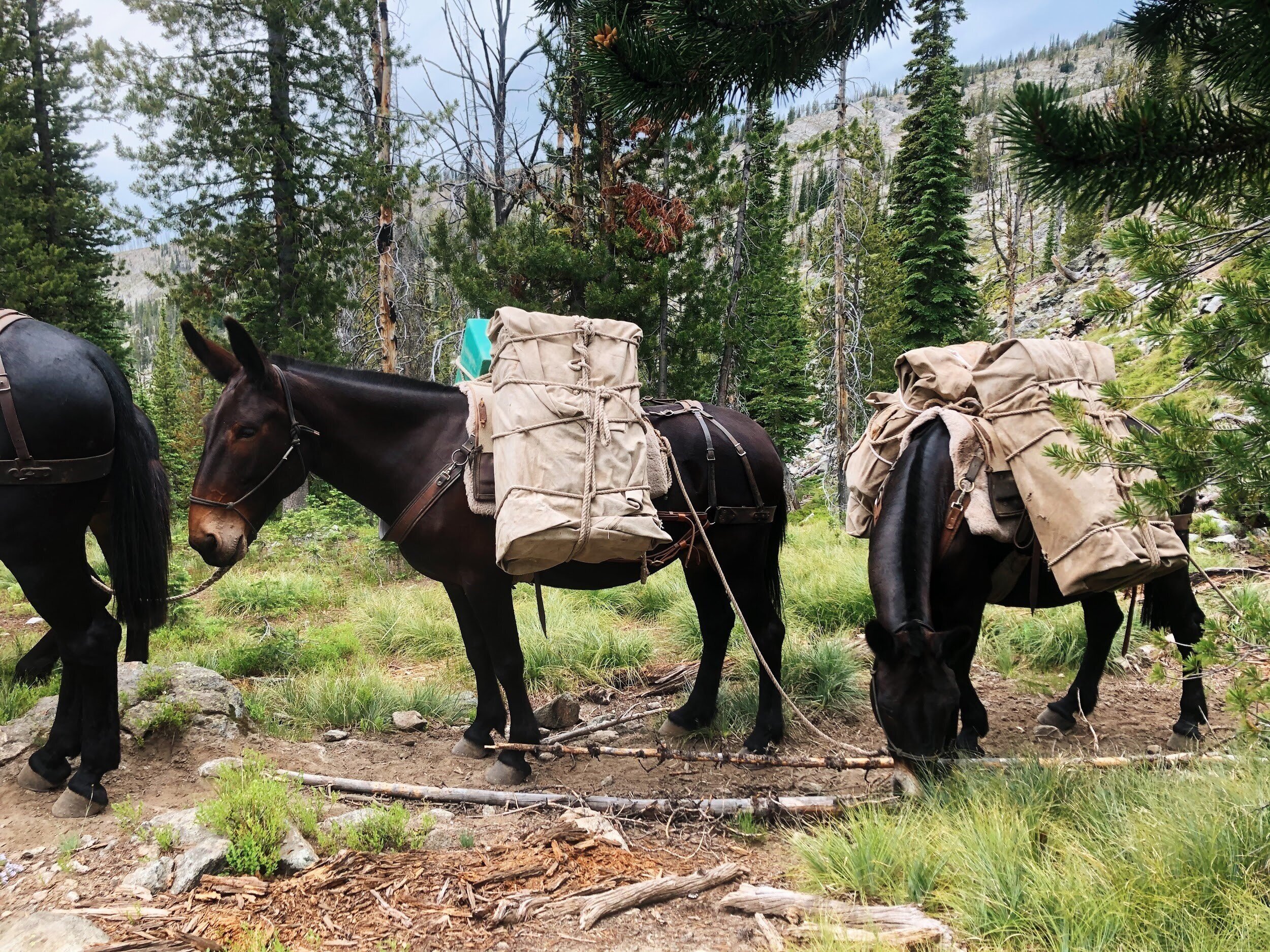
The first 2 days we cleared down-trees and intrusive rocks to Arrow Creek, about 6 miles in from the trailhead. This is where we would meet the mules and set up camp. Madi and I cherished the luxury of having a pack supported trip. We only had to pack a day-pack each day for the 8 days of hitch, everything else was brought in for us. I even splurged and packed a big ol’ jar of Nutella. Wilderness glamping.

The blasting took place about 4-7 times daily. I must admit, it was a little nerve-wracking to know that we were carrying 40-60lbs of explosives on our back, up hill, for a mile. However, these modern explosives are incredibly safe if transported and used correctly, and there was not a moment on this hitch that I didn’t feel unsafe. Rocks were flying, and the echo from each blast traveled from the rock bowl we were working in all the way down into the valley and each drainage along the way. I thought the noise would end at the mountains in the distance, but the echo would just bounce off the walls and make its way back to us.

The lupine, indian paintbrush, and many butterflies and bumblebees were vibrant and lively throughout the trail, though the dust and mosquitos were also prevalent. The dust caked our hands, arms, and even up our pant legs, while we had squashed mosquitoes along our hairlines from wearing a protective helmet all day. The highlight of everyday was getting back to the ankle-deep creek at camp and either trying to lay down and roll around in all the water this small drainage had to offer, or to stand in the deepest part and fill up our empty nalgene bottles for a refreshing shower/scrub down.

Madi and I headed out further down the trail every evening before dinner time, heading to the base of the distant mountains, or turning onto the Goat Ridge Junction. We ate well, enjoyed the company of new friends, worked incredibly hard, blew up some bedrock, and were present for everything the Frank Church River of No Return Wilderness had to offer. Bugs and all.

Hitch #2 Dolph Creek, East Moose Clearing

Pete Chappell

Nez Perce-Clearwater Trail Crew Leader

July 7-15

Nez Perce-Clearwater National Forest

We started off Hitch #2 with a good ol' fashioned 13 hour workday, clearing trees and lugging our feather-light 70-pound packs to a beautiful Cedar Grove where we wearily set our camp up next to a raging East Moose Creek. Eager as we were at that moment to fall into a deep slumber, our immediate concern was to assemble a proper bear hang. However, the forest had other plans, and we spent a far too great and embarrassing sum of time throwing ropes tied to rocks at trees all in the name of keeping our food safe from the hungry bears. At last, we succeeded in our endeavor, finally crawling into our tents and drifting off to the sound of the creek tirelessly flowing by.

In the morning we were graciously awakened by the incredibly pleasant whine of mosquitoes in their ever-present quest to fly directly into our ears and eyes and drink our blood. And as our workday started, we were very quickly reminded that we were indeed back in the wilderness, by the soothing bite of the majestic horsefly on our backs and heads, as if to say, "You smell good and are not in any way covered in sweat and dirt and grime".

Our work propelled us through a dense cedar forest, with trees towering above us and trunks so wide they rivaled the great redwoods. We encountered two massive cedar trees that had fallen directly within the length of our trail. With tree trunks larger than the entire length of our five and a half foot crosscut saw. We saw no way of cutting through it and saving the existing trail. A trail re-route appeared to be in our future, so we dutifully went to work, building a brand new section of trail around the fallen giants. 

The next few days we pushed tirelessly forward, the sounds of our axes ringing across the canyon walls and our crosscut continually singing through fallen trees. We were set upon by increasing numbers of downed trees as we worked through hail, rain, blisters, and blazing heat. 

In some sections we lost the trail entirely, spending far too many minutes frustratingly poking around in the brush to find it. It was in these sections that we spotted a hungry mountain goat far off in the distance, balancing precariously on small footholds in the cliffside, a towering waterfall dropping off a cliff, spilling its contents into the East fork of Moose Creek, and the biggest bear scat I personally have ever seen. I'm glad the bears are getting their fill of other food apart from ours.

But alas, all good times come to an end and we had to leave our little East Moose Trail project for greener pastures. And by this, I of course mean a grueling 14-mile hike back to the end of our road, Elk Summit, where we had stashed our cars (and a bag of barbecue chips). Our trip had come to an end, but rest assured, the itch of hundreds of mosquito bites we had acquired in our 8 days here were just starting to begin.

But despite the aches and pains. Despite the rain, hail, and heat, the mosquitoes and horseflies, and blisters. The truth is, all of those things pale to the fact that I am lucky enough to have the opportunity to be out here, experiencing these things, taking in the scenery, swimming in the cold glacial water, and maintaining trails so that others may use them and experience these same things. If it means having the privilege to be out here, I would gladly experience all those aches and pains again.

Hitch #1 Beaver Creek

Carly Stinson

Wilderness Steward

June 23-July 1

Salmon-Challis NF

We worked up from the Beaver Creek trailhead through a large burn from 2012. We primarily focused on logout although we also cleared many drains along the way. Over the first three unseasonably warm days of our hitch we cleared trail #21 to the junction with trail #22. There were still large patches of snow on the North side of the saddle. We then cleared trail #22 along the ridge and down to the junction with trail #14. The trail is very out sloped here with long sections of side hilling.

Along trail #14 we encountered two jackstraws left by avalanches. We were able to clear these and down the trail to within a mile of the junction with the Fall Creek trail #20. Despite a couple days of late June snow we cleared many logs including 799 small trees.  

Ruffneck View -At9407’ the Lookout on Ruffneck Peak provides views of Ruffneck Lake and Island Lake, with the Sawtooths and Whitecouds in the distance.

Ruffneck View -At

9407’ the Lookout on Ruffneck Peak provides views of Ruffneck Lake and Island Lake, with the Sawtooths and Whitecouds in the distance.

Avalanche_Debris: Large avalanches deposited piles of trees in the trail slowing our progress towards Fall Creek.

Avalanche_Debris: Large avalanches deposited piles of trees in the trail slowing our progress towards Fall Creek.

Avalanche_Cleared: Wilderness Steward Justine Bright stands in the freshly cleared trail.

Avalanche_Cleared: Wilderness Steward Justine Bright stands in the freshly cleared trail.